SRTS Engineering
Types of Planning & Engineering Assistance
School Road Safety Audits
School-focused Road Safety Audits assess corridors of state and local roadways around schools and focus on infrastructure for bicycles, pedestrians, and vehicles. Complete School RSAs are converted to projects that improve the safety for all road users.
For more information about School Road Safety Audits, contact us with the form below.
Planning for Safe Routes
- Find your safest routes. Use this helpful tip sheet Finding Bike and Walk Routes
- Try out your route! Conduct a walk/bike/roll assessment
- Identify barriers to safe walking/rolling
- Notify responsible parties and government entities that can help improve the routes
- Set up a Walking School Bus or Bike Train with your neighbors and share routes with your school and other families
- Make sure you educate students and their families about bicycle and pedestrian safety, encourage active modes with events and promotions, and engage the community in your SRTS plans! A comprehensive approach will be most successful
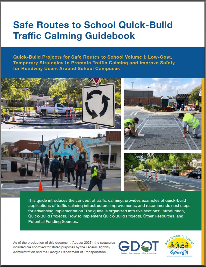
The Georgia SRTS team has developed a Quick Build Traffic Calming Guide to help communities identify lower-cost solutions to improve safety by slowing traffic. This guidebook is a tool for non-engineers, including laypeople, parents, educators, and community members. It’s designed to inform and empower school representatives to be proactive advocates for traffic safety improvements at and around schools. By understanding the process, regulations, and the role of engineers and roadway agencies, schools can become the driving force for safer streets.
Arrival/Dismissal Observations
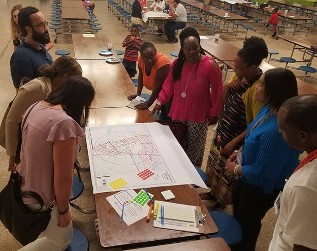
Arrival and Dismissal are key times in assessing safety for walking and bicycling students. For observing arrival and dismissal, the SRTS team will invite key stakeholders including school staff, district staff, city/county engineers and planners, and crossing guards to assist in understanding the barriers and opportunities for improving routes. The objective is not to make the arrival or dismissal easier or better for car riding families, but safety is important for all modes. Using aerial maps, photos, and video, we’ll observe what’s going on. Then we’ll sit down and discuss policies and procedures. We’ll look at opportunities for Park & Walk sites, walk/biker access, and more.
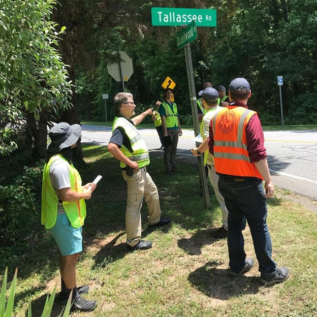
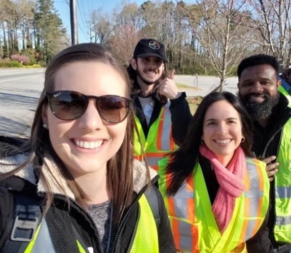
Safety Walks
Safety Walks include Arrival/Dismissal Observations, but head off campus to observe the existing and potential walk/bike routes to and from school. Stakeholders meet to discuss policy and procedures, assess aerial maps, review crash data, and then head out to walk the area. Wear comfortable shoes, b/c sometimes these walks are long. We look for community hazards like stranger danger, dogs, etc.; perceived and real traffic dangers like speeding, distracted drivers, and poor infrastructure; and potential issues. The SRTS Coordinator creates a report that is reviewed by GDOT and provided to all stakeholders. The report includes potential strategies.